|
|
|
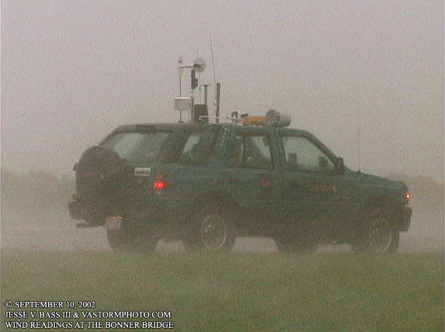
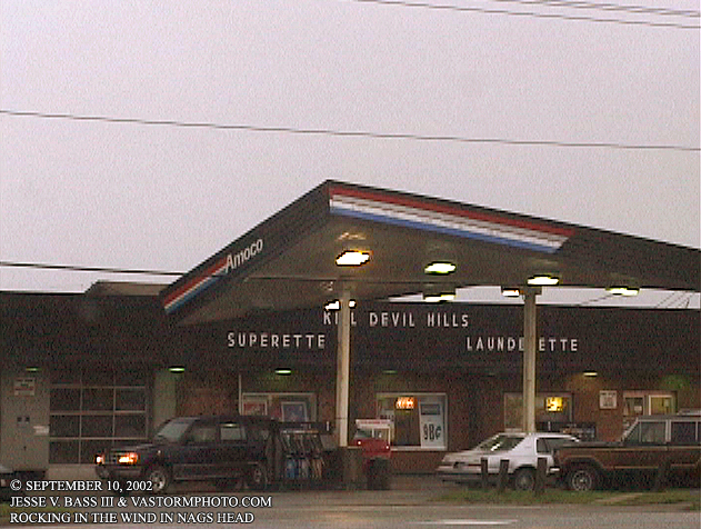
TROPICAL STORM GUSTAV, OUTER BANKS, NC. September 10, 2002 Tropical Storm Gustav formed from what was a sub-tropical system in the western Atlantic off the east coast of the United States on September 8th. We watched it closely and the forecasts called for a close call with the Outer Banks of North Carolina as a strong tropical or sub-tropical system. I rode down with team member Chuck Ripple to meet up with Mark somewhere in Cape Hatteras and prepare for whatever Gustav threw at the coastline. Recon was investigating the system on the tenth of September and found that Gustav had transitioned to a warm core system and was now a full fledged tropical storm. Winds would be near 60mph as it passed just to the east of the Outer Banks. The Hurricane Intercept Research Team traveled up and down Hwy. 12 taking wind readings and shooting video as the storm passed by. The wind was blowing large amounts of sand into the air and onto Hwy. 12 throughout the day as the maximum wind gust recorded on the Isuzu at the base of the Bonner Bridge was 66mph. Other than some heavy rains and the sand on the roadway from gusty winds, Gustav passed by with little fan fair to Cape Hatteras and the Outer Banks. Gustav would later become the first hurricane of the 2002 season as it moved to the northeast away from the coast. Once into the Nags Head and Kitty Hawk area of the Outer Banks, Chuck and I stopped across the street form a gas station that had their awning blowing and rocking in the wind. It looked like it was going to come down and we stopped to shoot video. Local station WAVY TV 10 was there as well from Hampton Roads. The awning never came down all the way, but a few hours or so later it tilted almost to the ground. We were gone from the area by that time. Below are video stills taken that day that show what it was like on the Outer Banks. GUSTAV VIDEO CLIP: Still to come
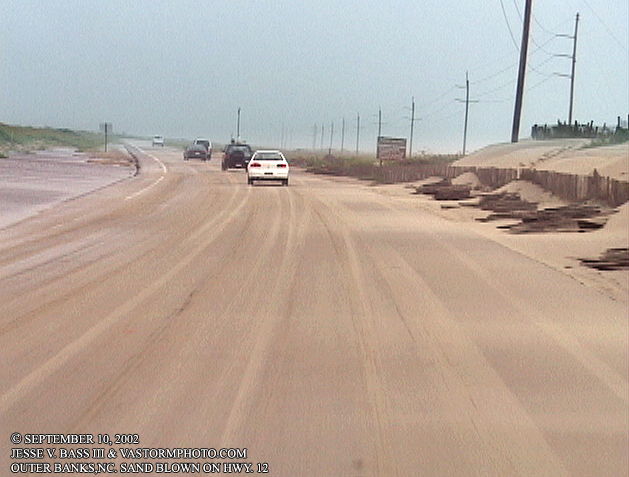
Early in the day, you can see where the wind was already starting to pile the sand onto Hwy. 12.
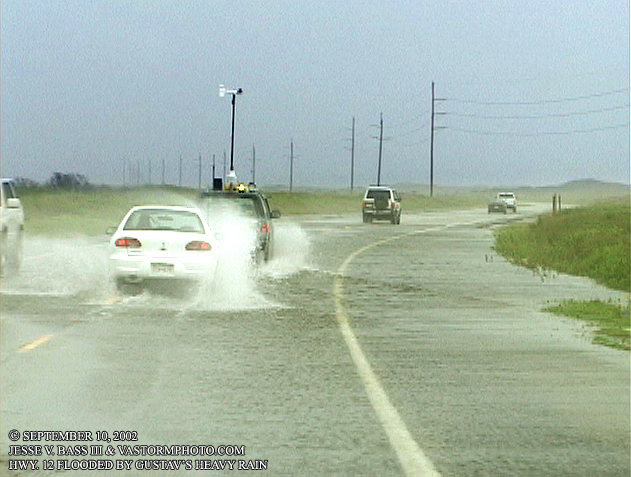
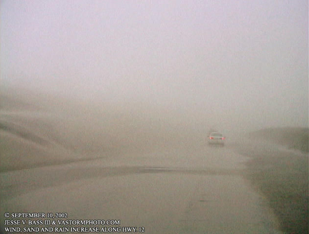
In a few areas of Hwy. 12, the heavy rains were already starting to flood the street as well. Here we were headed northward towards the Bonner Bridge from Cape Hatteras.
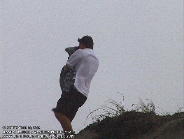
Once Gustav's winds stated to really be felt, Mark ran to the top of the dunes to shoot he waves and wind on the beach.
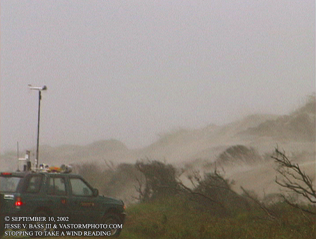
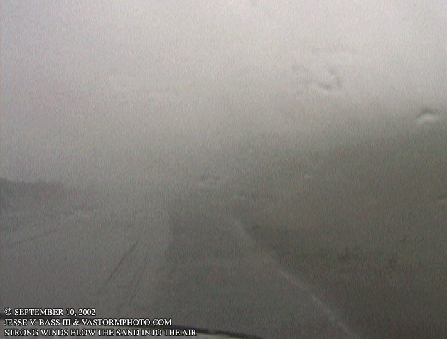
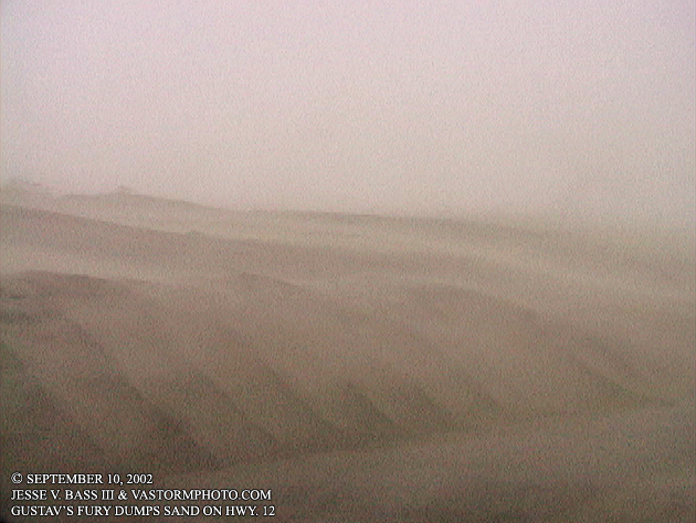
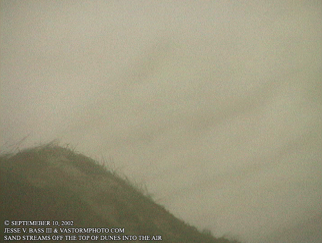
Here you see we stopped along Hwy. 12 on the side of the road to shoot video of the sand beginning to be blown heavily into the air and onto the roadway. Nearing the peak effects of Gustav, you can see little actually. This is a shot of tones of sand being blown into the air by 40-60mph wind gusts.
Now near the base of the Bonner Bridge, Mark recorded a 66mph wind gust in the driving rain.
In the three photos above, you can see just how strong the wind was, and how much sand was being blown into the air. It looked like rivers of sand coming down the dunes and streaming off into the air.
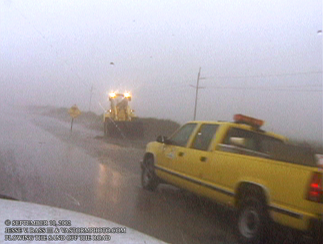
Just south of the Bonner Bridge, road crews were trying to keep the road clean from the sand. Here a bulldozer was clearing part of Hwy. 12.
Back north of the Bonner Bridge in Kill Devil hills, this gas station awning was rocking in the wind. Several people were attempting to fill up while this was going on. The Ford Explorer owner accidentally locked his keys in the car and had to break the window to move the Explorer before the canapé came down on it.
All Images Copyright Jesse V. Bass III and VaStormphoto.com |
