|
|
|
HURRICANE AND TROPICAL STORM VIDEO LINKS ARE AT THE BOTTOM OF THE PAGE |
|
HURRICANE SEASON 2001 |
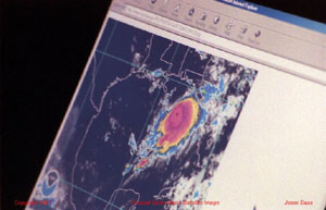
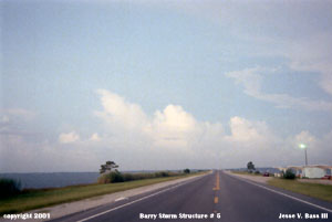
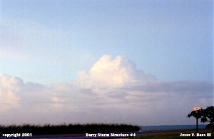
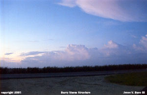
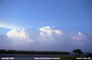
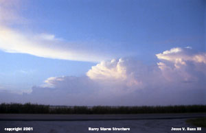
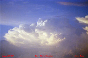
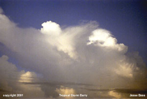
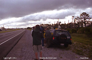
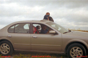
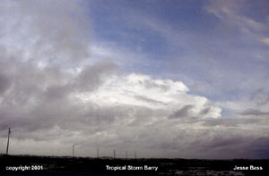
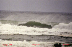
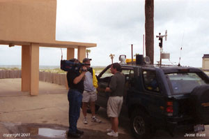
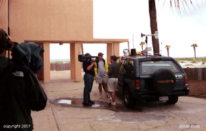
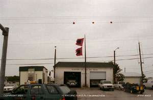
| TROPICAL STORM BARRY: Tropical Storm Barry moved off the African coast and into the Atlantic on July 24th. It didn't develop much on its way across until it had almost reached the Lesser Antilles. By August 2nd, the tropical wave became Barry. Barry would fight through some upper level shear becoming a tropical depression. Late on August 4th Barry would once again gain tropical storm status. Barry rapidly deepened as it moved to the north towards the Florida Panhandle. Barry's pressure would drop 14mb over 7 hours down to 990mb. Barry's maximum sustained winds were officially 70mph sustained. As Barry made landfall near Santa Rosa Beach, Fla. the Hurricane Intercept Research Team recorded a wind gust to 84mph near Fort Walton Beach. Below are several photos of Barry early in the morning of August 5th. The last 2 photos are Mark Sudduth being interviewed for the Today Show the morning after the storm.
|
|
HURRICANE SEASON 2001 CONTINUED |
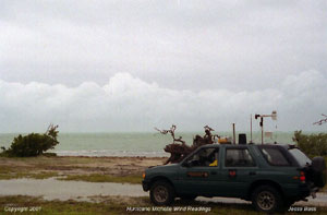
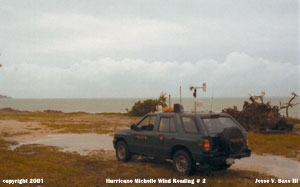
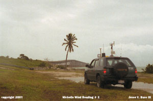
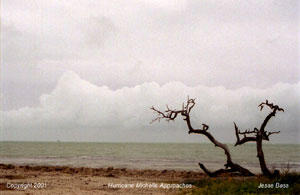
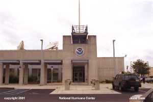
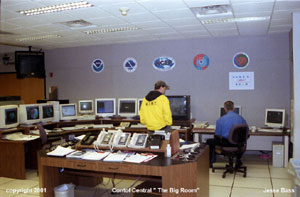
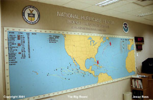
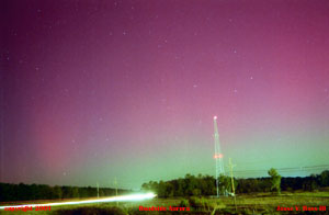
| HURRICANE MICHELLE: Before Michelle threatened the U.S. coast on November 4th and 5th, there was Gabrielle. But due to the terrible acts committed against this country on September 11, we decided not to make the trip to Florida. The next storm after Gabrielle to threaten the U.S. Coastline was Hurricane Michelle. A category 4 hurricane with maximum sustained winds near 140mph. She formed from a tropical wave coming from Africa, but did not develop until near the coast of Nicaragua on October 29th. Michelle meandered around the coast for about 36 hours then started to head off towards the north toward Cuba. Michelle became a tropical storm November 1st. By November 2nd she was well on her way to becoming a hurricane before the day was over. Her central pressure fell 51mb over 29 hours on the 2nd and 3rd from 988mb to 937mb. She would turn northeast striking the western tip of Cuba full force on November 4th. She would continue to turn northeast missing the Florida Keys by several hundred miles. Hurricane warnings had been posted for the Keys. And the Hurricane Intercept Research Team was there. The highest wind gust we saw was around 45mph. On our way home we saw an Aurora in the northern sky in South Carolina. We stopped along I95 to shoot some photos. Just 1 turned out.
|
|||
|
|
|
|
|
|
VASTORMPHOTO.COM CONTENTS (C) 2003 |
|
ALL PHOTO'S, VIDEO, AUDIO AND GRAPHICS MAY NOT BE USED WITHOUT PERMISSION |