|
|
|
|
|
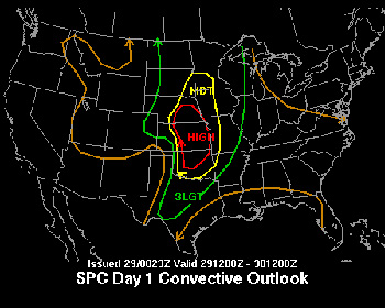
MAY 29, 2004: TORNADO OUTBREAK!! Mark Sudduth, John Van Pelt and myself are leaving Raleigh, NC. this morning at 6am to fly out to Kansas City, Mo. for the possible big tornado outbreak this weekend. I will continue to post updates to this page so you can follow our progress. As long as there is Sprint coverage, we will be running a webcam live from the vehicle and I will keep you up to date on our progress. Any digital photos taken will be posted here as well. Wish us luck and if I have a chance I will update before we change planes in Detroit. If not, I will next update when we pick up the rental car and hit the road. Update: 12:22pm cdt ... We landed in Kansas City a little before 10am. We picked up the rental car and started to head south on I 35. We plan on meeting up with several experienced chasers, Dave Crowley and the S.W.I.F.T. team near Wichita, Kansas. There is a high risk out for possible, large, long tracked tornados in this area today. Looks like things are really heating up out here with temps in the mid 80's already and skies are partly cloudy. Below is the SPC forecast map for today. I will have more later.
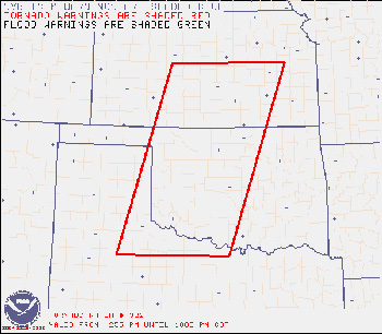
Update: 11:30pm cdt... Wow!!!! What a day this has turned out to be here in Kansas. We have intercepted 4-5 separate tornados today near Harper County in south east Kansas. I will be working on the photos to be posted soon. Much more later. below is a shot from the SPC issued PDS Tornado Watch box. I will update all of these as well over the weekend.
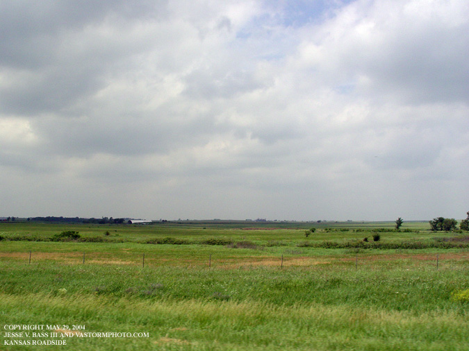
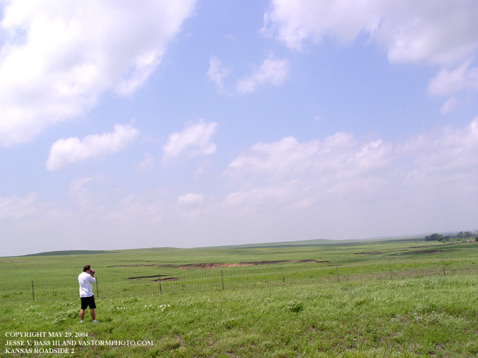
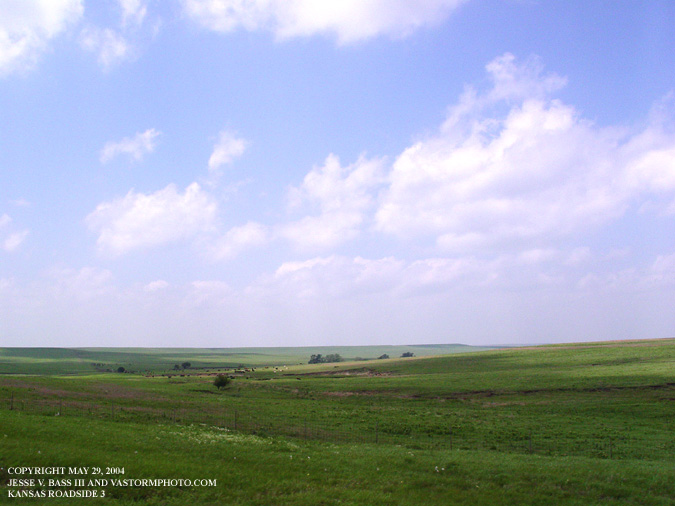
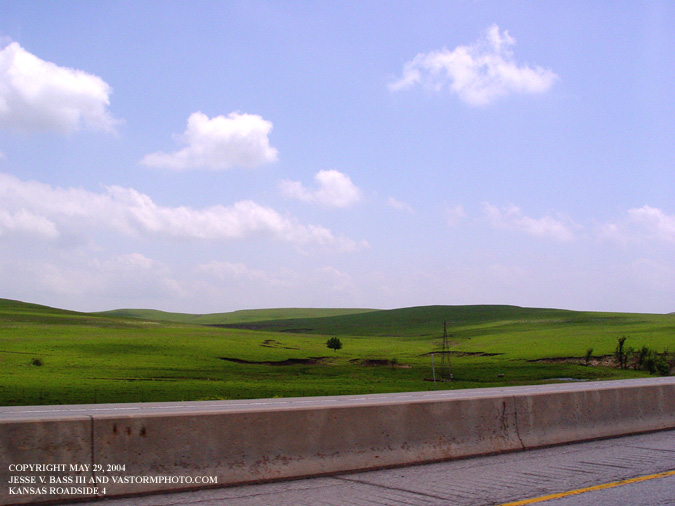
Here are a few photos on our way south along I 35 in eastern Kansas. What a beautiful site earlier in the day.
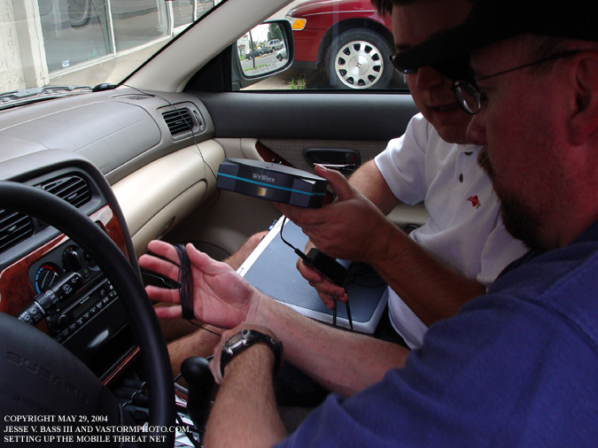
Once we reached Wichita, Mark and John started to set up the Mobile Threat Net radar system. This little system would prove to be very important a little later in the day.
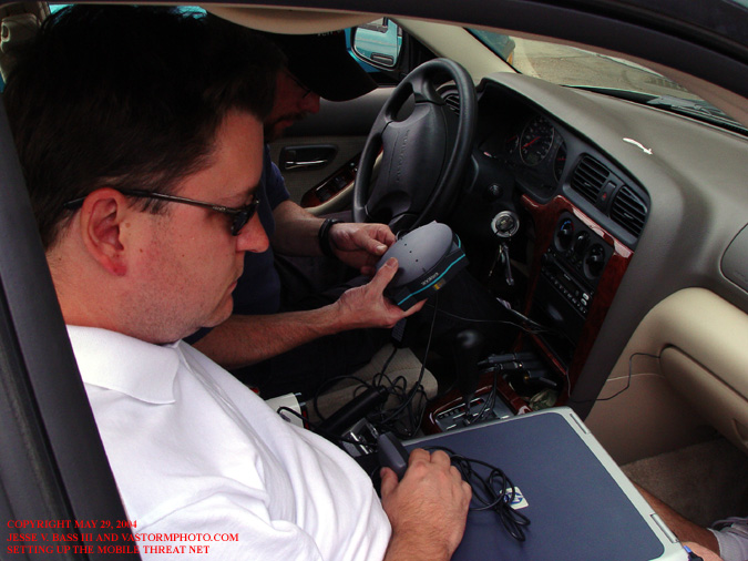
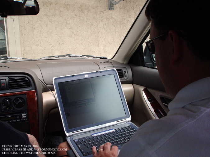
Here Mark was checking the latest information from the SPC (Storms Prediction Center) out of Norman, Ok. This is when we saw them post the PDS (Particularly Dangerous Situation) Tornado Watch for our area. That watch box is posted above. This is when we knew we were in the right place.
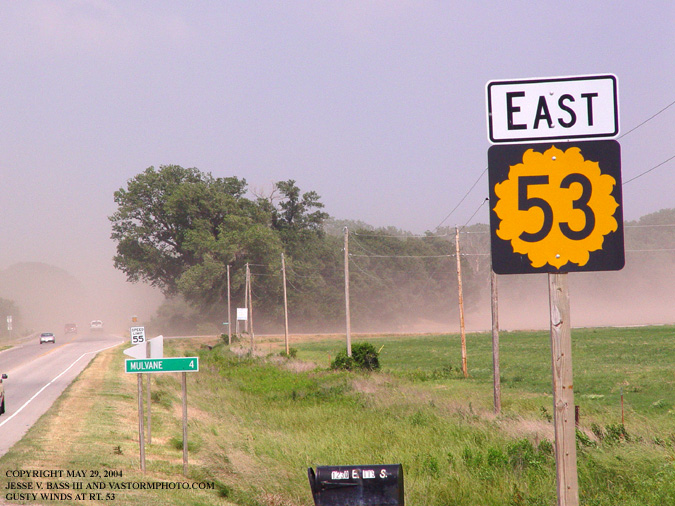
After we drove south a little further, we got off I 35 and headed for Rt 160 west. This is a photo of Rt 53 as we got off 35. You can see it was very windy in the area well before the storms approached. The dust coming off the fields created a haze over the roadways and cars seemed to disappear.
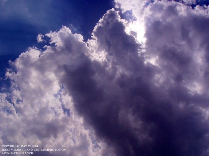
After several miles on Rt. 160, we started to see storms moving in from the southwest. Here is a shot from the car as the outer edge of an approaching storm well to our southwest.
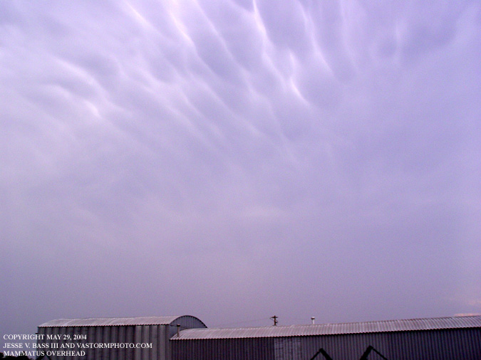
Just a few minutes later, the anvil was well overhead and the mammatus was increasing in size.
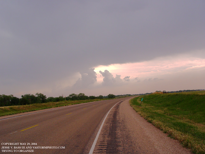
We stopped to check the Mobile Threat Net radar, and find another road option south. This area was trying hard to organize to our northeast but just could not get it together. After watching a large supercell organizing on radar to our south, we decided to get a road south quickly. Once on that road, the storm started to become more visible. We quickly pulled over on a dirt road and began to shoot photos and video. This storm would produce the first tornado of the day for us. All Images Copyright Jesse V. Bass III and VaStormphoto.com Copyright 2004 All Rights Reserved |