|
|
|
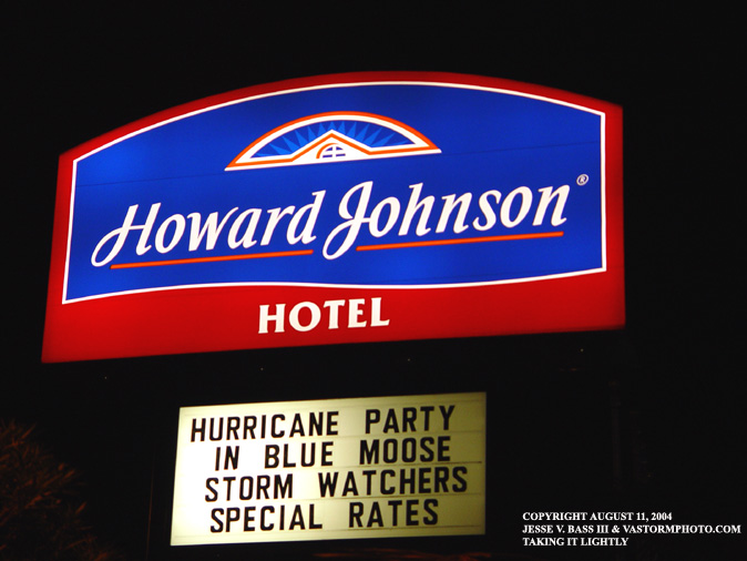
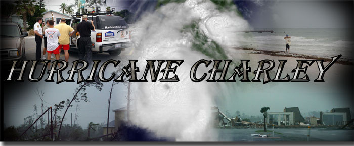
BONNIE AND CHARLEY: A DOUBLE PUNCH FROM THE TROPICS August 11-13, 2004: Florida As we started the second week of August, we started to watch two areas of disturbed weather in the Caribbean and the Gulf of Mexico. The are in the Gulf was at one time Tropical Depression 2 as it moved through the Caribbean south of Puerto Rico and the Dominican Republic. The island on Hispaniola disrupted the circulation and T.D. 2 dissipated. However, once it made its way into the Gulf it started to show signs of reorganizing and would earn the name Tropical Storm Bonnie. At the same time we were watching an area of showers and storms beginning to organize in the southern Caribbean. This would become T.D. 3 and later become Hurricane Charley. Bonnie would go through several intensification and weakening trends over the next few day while Charley slowly organized as it quickly approached the Gulf. Bonnie was set to make landfall as a strong tropical storm on August 12, 2004 during the morning hours. Bonnie was right on time, however she had lost her organization and looked ragged in appearance. Bonnie would make landfall near Panama City Beach and Apalachicola, Florida around 10am with winds near 50mph. With the weak appearance of Bonnie, we decided to leave Panama City Beach and head towards Tampa for Hurricane Charley. Below is a photo and radar summary of Tropical Storm Bonnie.
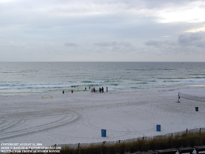
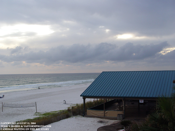
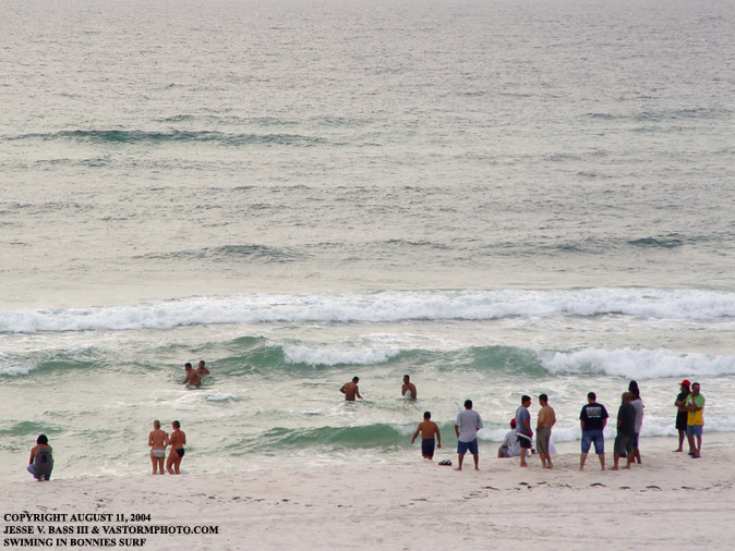
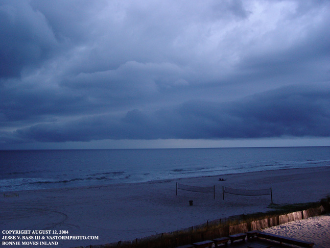
With Bonnie still twelve hours or more away from landfall, people continued to swim in the relatively calm Gulf Of Mexico. You can see in the second photo that the bulk of the beach was clear however except for a TV station camera ready to do a live shot for their local news on the beach.
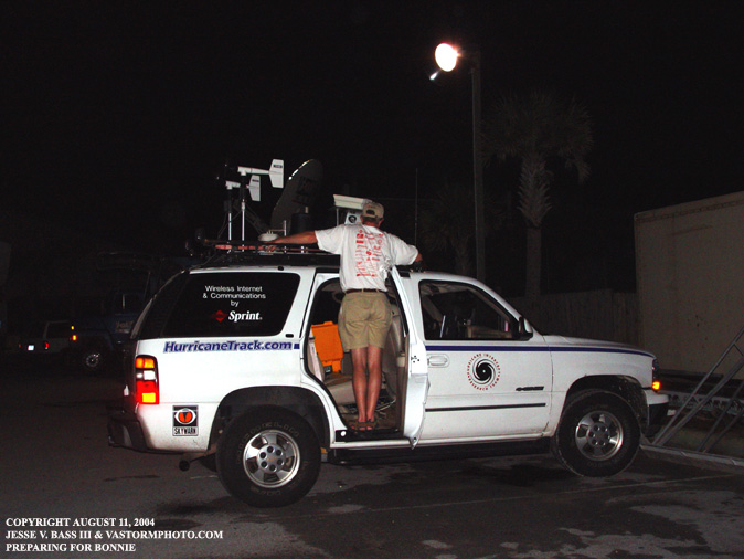
After cleaning and applying rain x to the windows and camera housings on the Tahoe, Eddie Smith was getting the pole for the 5 meter mast ready to start recording wind data over night.
This is something you just have to see to believe. The good thing was there was only two or three people that showed up. Everyone else was preparing for the storm. We hoped.
During the late night hours, there was an incredible thunderstorm that came in off the Gulf in one of the outer bands. I missed the action due to leaving the tripods in the truck. But when we woke up in the morning to get ready, we could see a few large heavy rainbands just off shore as they were rotating their way inland.
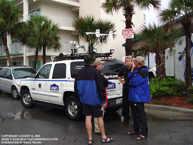
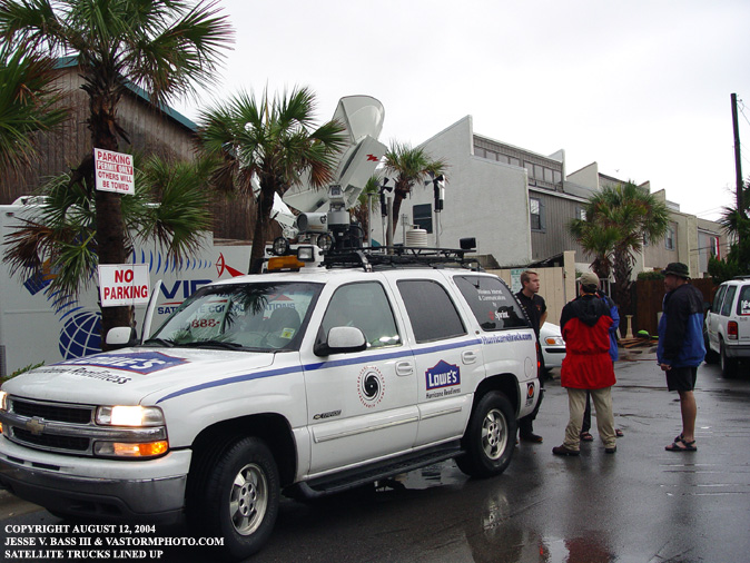
After looking at the morning satellite and radar of Bonnie, we decided to pack things up and get ready to head east and then south along I-75. Several groups of media stopped by to check out the truck, see what it is we do, and find out where we would be for Charley.
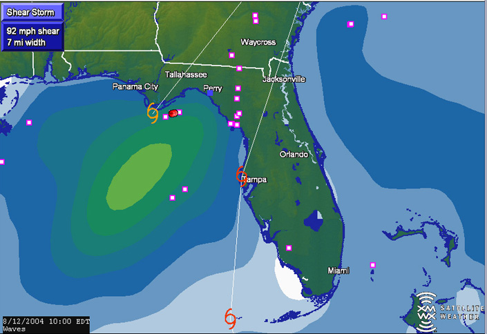
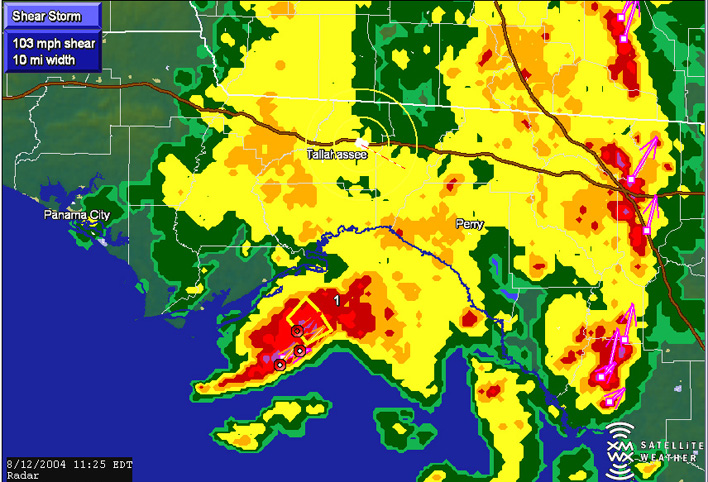
Here is a shot of the Mobile Threat Nets tropical feature.
It shows the forecast track of both Tropical Storm Bonnie and Hurricane
Charley. This is a shot of the radar image of Bonnie as she was coming ashore just east of Panama City Beach.
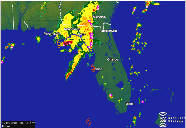
In this screen grab, you can see the vehicle along I-10 moving east with the center of Bonnie just to our southwest. As you can see, there are several "shear markers" within the heavier rainbands. There were several tornados reported through the day and one caught on video near Jacksonville, Florida. At the time it was reported, we saw a marker right over the city. Unfortunately I forgot to save that image. We hit I-75 south and met up with John Van Pelt later along the interstate. For a hurricane that was forecast to become a category 3 before landfall, we saw very little in the way of traffic along I-75. We saw the newspaper and the TV news with thousands of people fleeing the area in and around Tampa but we saw very little of it. We were starting to grow concerned that people were dismissing the warnings and the evacuation orders.
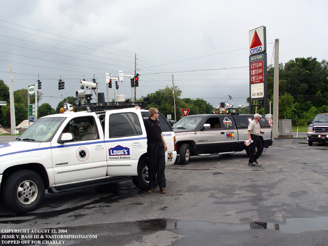
Once off I-75 we had to stop for gas. The gas station was extremely busy with people topping off and the roads near the station were packed with people. We were questioning whether this was typical rush hour traffic or people evacuating. There was no clear answer to that question. We left and headed for Tarpon Springs which is along the Gulf coast north of Clearwater and Tampa. There we would get a room and at the Holiday Inn and go get something to eat. That would surely be our last good, hot meal for awhile if Charley strengthened like the forecasters said. Once we returned to the hotel, we started preparing the trucks and equipment for the next day. Charley was maintaining course and getting ready to cross western Cuba. We clean, gassed and oiled the chain saws and fired them up to make sure they were working. Once the gear was in place where everything was easy to get to in the morning, we turned in for some much need rest. Friday the 13th would be a long day.
All Images Copyright Jesse V. Bass III and VaStormphoto.com Copyright 2004 All Rights Reserved |