|
|
|
|


ORDER THE NEW DVD OF THE RECORD BREAKING 2005 HURRICANE SEASON
|
TROPICAL WEATHER UPDATE JULY 5, 2008- 5:03pm BERTHA STILL MOVING ALONG IN THE EASTERN ATLANTIC.. As of the 5pm forecast advisory: Center was located at 16.7N and 39.3W and is moving to the west at 21mph. The maximum sustained winds are 50mph and the minimum central pressure is 1000mb. The forecast has not changed much at all since the 11am advisory this morning. And in fact Bertha remains the same in intensity as well. The NHC is still forecasting Bertha to become a hurricane in about 2 to 3 days time making it a minimal hurricane. Bertha is still over cooler waters this evening however that will change in the next day or so as she moves generally west to west northwest. The forecast track of Bertha has not changed much either. Other than the NHC shifting it southward in the short term 2-3 days out, it remains on track from the earlier advisory for now as the confidence is not very good right now after about 3 days. The computer models have a large spread after about 3 days on where Bertha just might head. It is something we will have to follow closely next week for sure. There is a break in the sub-tropical ridge of high pressure out ahead of Bertha which might help her turn more to the north, but we just don't know for sure right now. Timing and I think the strength of Bertha might be the key when it reaches that area where the break is. No concern right now, but lets keep an eye on it. TRACK TROPICAL STORM BERTHA HERE!
Just below this commentary, are several of the Atlantic basin satellite links. Click an image to see a loop. |
|
|
SATELLITE LOOPS |
CURRENT STORM SATELLITE IMAGES AND LOOPS!! |
|
|
STORM FLOATER 1!! CLICK IMAGE FOR AN ANIMATION
STORM FLOATER 2!! CLICK IMAGE FOR AN ANIMATION |
|
NEW FIELD WRITE UPS AND PHOTOS!! |
|
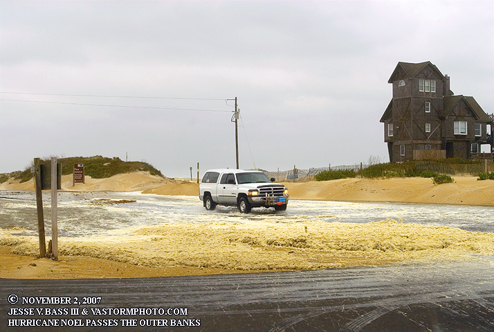
HURRICANE NOEL!
See the write up and photos from the Outer Banks as Noel passed by. Click the photo above. TROPICAL STORM GABRIELLE!
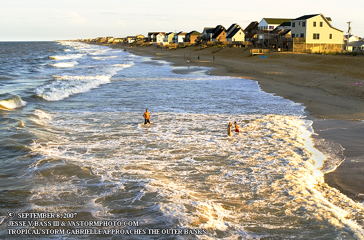
See the write up and photos from the Outer Banks of Gabrielle. Click photo above. TROPICAL STORM ERNESTO
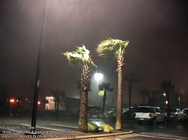
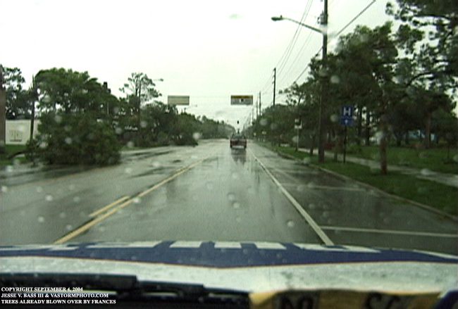
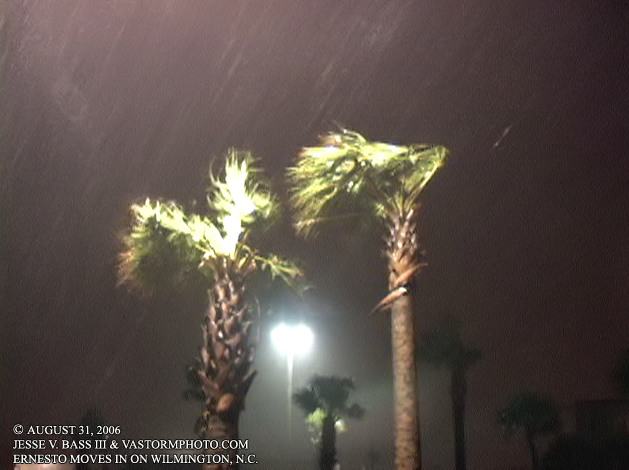
See the write up with photos and video of T.S. Ernesto as it made landfall in Wilmington, NC. |
All Images Copyright Jesse V. Bass III and VaStormphoto.com
Copyright 2003-2007 All Rights Reserved